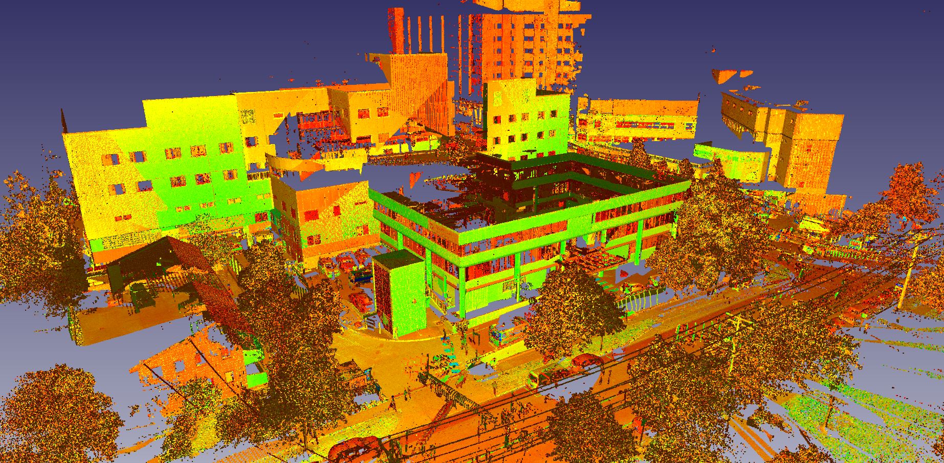
Point Clouds are the raw product of the laser scanning process and are made up of millions and sometimes billions of 3d points that represent the physical shape of the objects under inspection. The 3d points are shown as intensity colour or optionally as true colour with the addition of photography.
Point clouds can be read into most standard CAD software packages in specific formats to allow for the fast manipulation of the point clouds and associated CAD elements. Some of the standard CAD software packages that read point clouds include Revit, Autocad, Microstation, Rhino, Navisworks and Civil3d.
Laser Scanning Pty Ltd can provide point cloud datasets in any format required for use by Architects, Engineers and allied professionals.